Rainbow Mountain, Vinicunca or the Mountain of Seven Colours, is the most requested day trip from Cusco after Machu Picchu. It is a ridge in the Ausangate range, at 5,200 metres (17,060 ft), whose slopes show bands of red, ochre, green and turquoise. Seeing it takes an early start, a hike at altitude and some preparation. This guide brings together everything you need to know before you go.
What it is and why it has colours
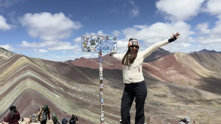
The colours are layers of mineral sediment folded as the Andes formed: iron oxides give the red, sulphur the yellow and chlorites the green. For centuries ice covered them, and the retreat of the glacier exposed them a little over a decade ago. Since then, Vinicunca has gone from a herders’ pass to one of the most photographed landscapes in Peru.
It is not Cusco’s only rainbow mountain. Palcoyo and Pallay Punchu show the same phenomenon with far fewer people. We compare them in the Rainbow Mountains destination.
Quick facts
| Detail | Value |
|---|---|
| Location | District of Pitumarca, province of Canchis, in the Ausangate range |
| Distance | About three hours by vehicle from Cusco |
| Viewpoint altitude | 5,200 m (17,060 ft) |
| Hike | About 5 km uphill, an hour and a half to two hours; one hour down |
| Difficulty | Demanding because of the altitude; the path is wide with no technical sections |
| Length of the day | About 14 hours, leaving before dawn |
| Entrance | Community fee, about 10 soles, in cash |
| Best time | April to October |
Getting there
From Cusco you drive south on the road along the Vilcanota valley, and the last stretch climbs a winding mountain road to the trailhead, at about 4,600 metres, some 1,200 metres above Cusco (Cusco altitude guide). The drive takes about three hours. That is why tours leave before dawn: on ours, the private Rainbow Mountain tour, we pick you up at 3:30 and have breakfast on the way, in Cusipata.
What the hike is like
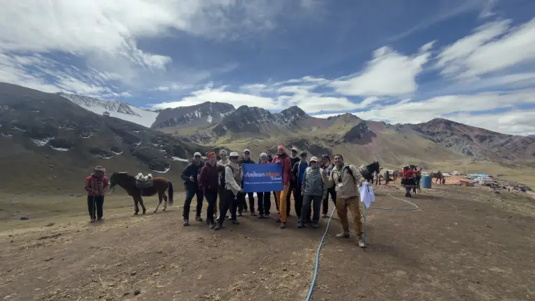
It is about five kilometres uphill on a wide path with a gentle gradient, steeper in the final stretch, right in front of the mountain. At a steady pace most travellers reach the viewpoint in an hour and a half to two hours. The path is not difficult; the air is: at that altitude every step costs double. The key is to go slowly from the first minute, stop often and drink water.
From the viewpoint the mountain is right in front of you, and to the right rises Ausangate, 6,384 metres, the most important sacred mountain of Cusco. The descent on the same path takes an hour.
On horseback
If anyone in the group prefers not to walk, the community’s herders hire out horses on the trail to near the viewpoint, paid separately in cash. The last and steepest stretch is done on foot anyway.
Altitude: how to prepare
For most travellers, the Vinicunca viewpoint is the highest point they will ever reach, about 1,800 metres (5,900 ft) above Cusco, which sits at 3,399 m (11,152 ft). Do not put it in the first days of your trip:
- Spend at least two days in Cusco or the Sacred Valley before going.
- The evening before, eat light, skip alcohol and sleep well.
- Walk slowly and breathe deeply; there is no rush.
- If you feel dizzy, have a bad headache or are short of breath, stop and tell the guide. On our tours the guide carries emergency oxygen and the vehicle waits at the trailhead.
How to plan the first days is in the acclimatisation guide, and where the mountain fits in your trip, in the 3-day itinerary: always at the end, never at the start.
When to go
From April to October, in the dry season, the sky is usually clear and the colours are sharp. Early mornings drop below zero. From December to March, with the rains, the mountain can wake up under snow that hides some of the bands; tours still run and the colours appear as soon as the sun clears it, usually by mid-morning.
At any time of year the best moment for the photo is with the sun high and no clouds. Large groups arrive between ten and twelve: leaving earlier is what lets you see the viewpoint with fewer people.
Entrance and money
The community charges the entrance fee at the access point, about 10 soles, in cash. Bring small notes too for the horse if you need one, the toilets on the way, which charge a small amount, and something hot at the community stalls. There are no cash machines and cards are not accepted.
What to bring
Layers, a windproof jacket, a hat, gloves, worn-in hiking shoes, SPF 50 sunscreen, sunglasses, one or two litres of water and something sweet. The full list, with what the tour includes, is in what to pack for Rainbow Mountain.
More than the photo: the Red Valley
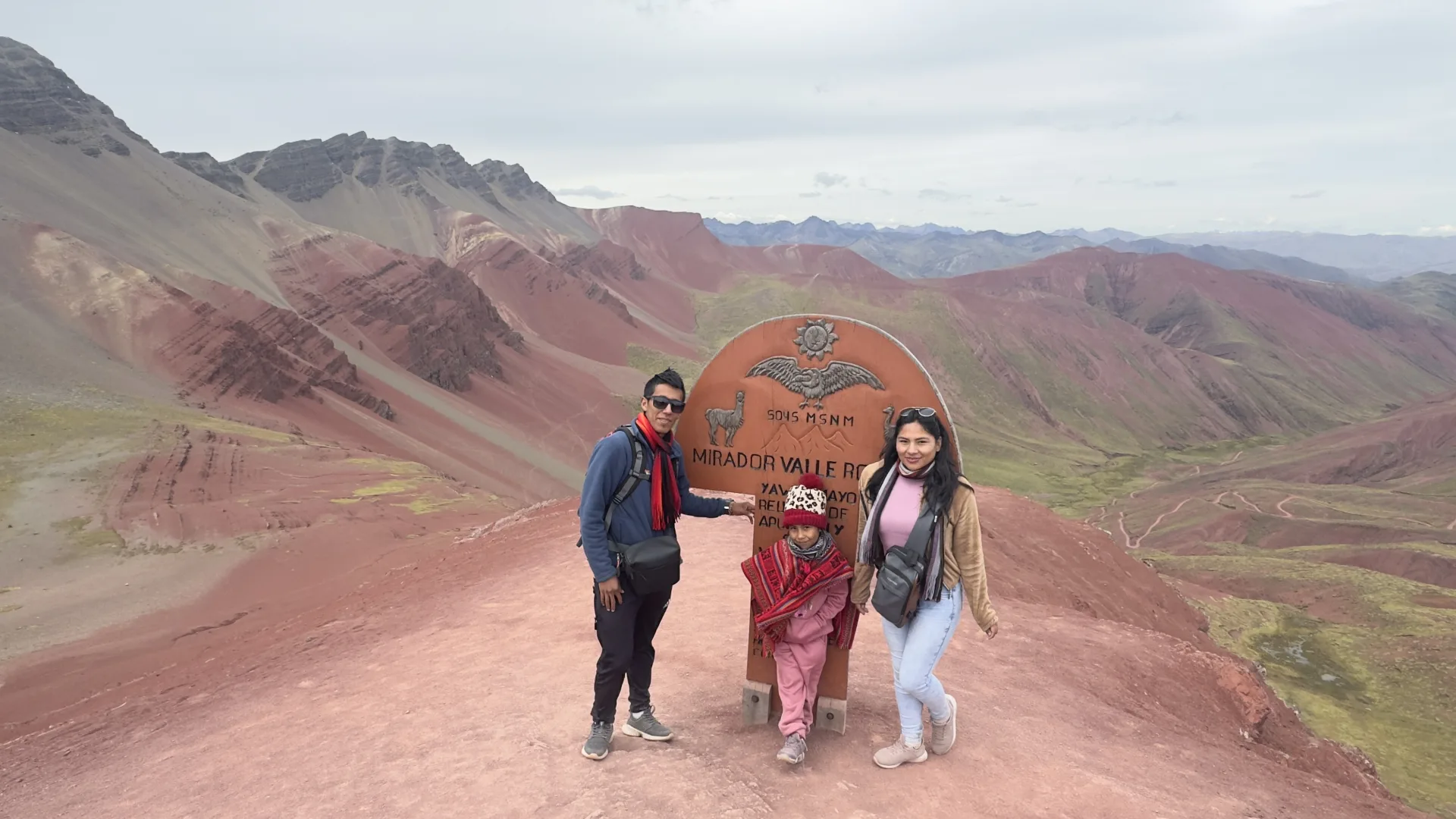
From the viewpoint you can cross the ridge and descend through the Red Valley, a whole hillside stained red by iron oxide that hardly anyone walks. It adds an hour of hiking, almost all downhill, and a second community fee. It is the most complete route if you have strong legs: we do it on the Rainbow Mountain and Red Valley tour.
If you do not want the climb
At Palcoyo the vehicle drives almost to the top and the walk to the viewpoint is nearly flat, about thirty minutes. You see three rainbow mountains with far fewer people. It is the option for families with children or for anyone short on acclimatisation. The full comparison is in Vinicunca or Palcoyo. And if you are torn between the mountain and a glacial lake, read Humantay or Rainbow Mountain.
If you are torn between Rainbow Mountain and Humantay Lake, a turquoise lake at 4,200 metres beneath the Salkantay snow peak, we compare them in Humantay Lake or Rainbow Mountain.
Frequently asked questions
How high is Rainbow Mountain?
The Vinicunca viewpoint stands at 5,200 metres above sea level, about 17,060 feet: some 1,800 metres (5,900 ft) higher than Cusco. That is why you should spend at least two days acclimatising before you go.
What is the weather like at Rainbow Mountain?
Cold at dawn all year round: before sunrise the temperature drops below freezing. From April to October, in the dry season, the sky is usually clear. From December to March it rains and the mountain can wake up under snow, which melts away once the sun comes out. Bring layers, a waterproof jacket, a hat, gloves and sunscreen.
How long does it take to hike Rainbow Mountain?
An hour and a half to two hours at a steady pace, and an hour down. With the drive, the full day from Cusco takes about fourteen hours.
Is it very hard?
The path is wide with no technical sections. The demanding part is the altitude: the viewpoint is at 5,200 metres. With two days of acclimatisation and a slow pace, most travellers make it.
How much is the entrance fee?
About 10 soles, charged by the community at the access point, in cash. It is not included in tours.
Can you go with children?
It is not ideal because of the altitude. With children, the gentlest option is Palcoyo, with a thirty-minute, nearly flat walk.
Why such an early start?
Because the drive is long, and arriving before the large groups lets you enjoy the viewpoint with fewer people.
What if it snows?
The tour still runs. Snow usually covers the bands at dawn and melts by mid-morning, when the sun clears it.
Why is Rainbow Mountain colourful?
Its colours are layers of mineral sediment folded as the Andes formed; each mineral gives a different shade to the red, ochre, green and turquoise bands.
Do you need oxygen for Rainbow Mountain?
Most travellers climb without it after two or three days of acclimatisation in Cusco. On our tours the guide carries emergency oxygen and the vehicle waits at the trailhead.
Is Rainbow Mountain worth it?
Yes, if you arrive acclimatised and feel fine walking uphill: it is the most famous mountain view around Cusco and the climb is not technical. For something easier, Palcoyo shows the same colours with hardly any walking.
Book your Rainbow Mountain day
- Private Rainbow Mountain tour, leaving at 3:30.
- Rainbow Mountain and Red Valley, the most complete route.
- Private Palcoyo tour, the option with no climb.
- All the rainbow mountains.